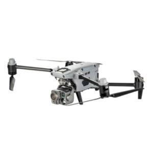
Drone Inertial Navigation System
-

-
6%
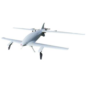
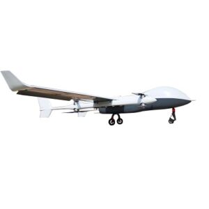
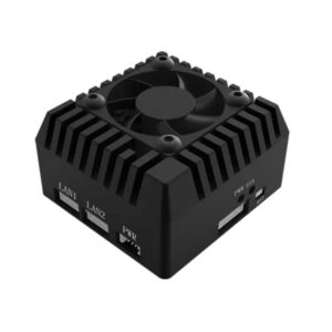
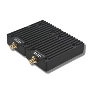
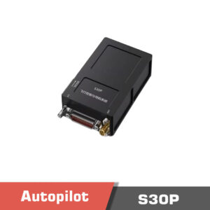
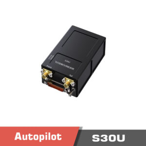
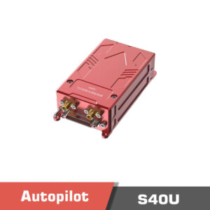
Sale! S40U Flight controller, Hybrid UAV Flight Control and Navigation System
- Original price was: 6390.00 $.5990.00 $Current price is: 5990.00 $.
-
6%
-
-
8%
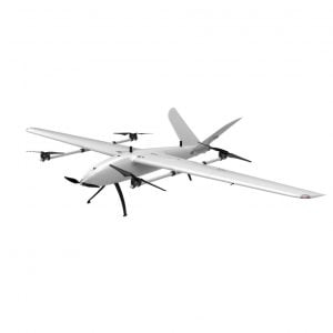
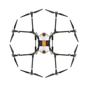
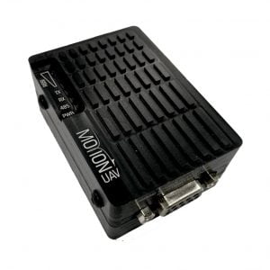
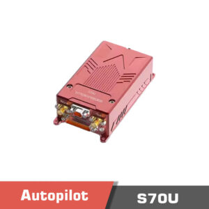
Sale! S70U Flight controller, Hybrid UAV Flight Control and Navigation System
- Original price was: 21610.00 $.19900.00 $Current price is: 19900.00 $.
-
8%
-
-
6%
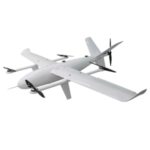
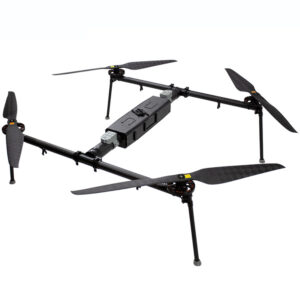
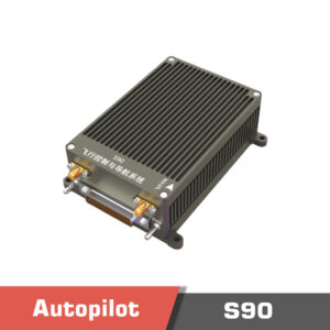
Sale! S90 Flight controller, Hybrid UAV Flight Control and Navigation System
- Original price was: 39650.00 $.37100.00 $Current price is: 37100.00 $.
-
6%
-
-
6%
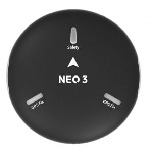
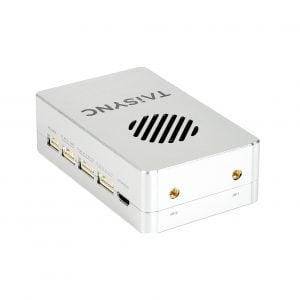
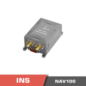
Sale! NAV100 Inertial Navigation System (INS) | Strong environment adaptability
- Original price was: 4999.00 $.4679.00 $Current price is: 4679.00 $.
-
6%
-
-
6%
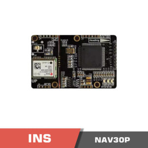
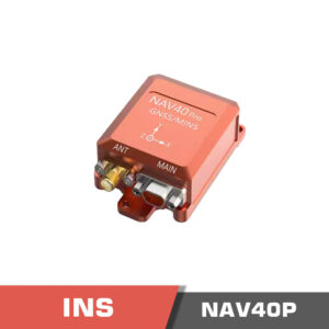
Sale! NAV40P Inertial Navigation System (INS) | 3-axis accel, 3-axis, gyro, 3-axis magnetometer
- Original price was: 599.00 $.563.00 $Current price is: 563.00 $.
-
6%
-
-
6%
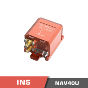
Sale! NAV40U Inertial Navigation System (INS) | GNSS module, barometer, and other micro snesors
- Original price was: 900.00 $.845.00 $Current price is: 845.00 $.
-
6%
-
-
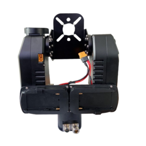
Sigma D4G FOG IMU
- 1650.00 $
-
-
- Out of Stock
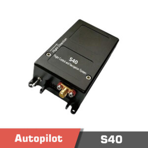
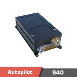
S40 Flight controller, Hybrid UAV Flight Control and Navigation System
- 4900.00 $
-
-
- Out of Stock
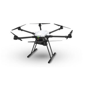
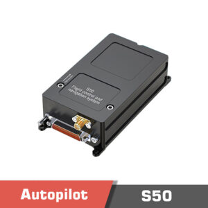
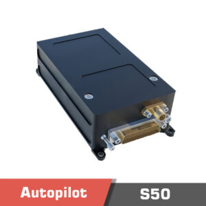
S50 Flight controller, Hybrid UAV Flight Control and Navigation System
- 6010.00 $
-
-
- Out of Stock
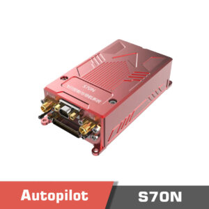
S70N Flight controller, Hybrid UAV Flight Control and Navigation System
- 15500.00 $
-
-
- Out of Stock
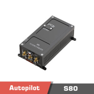
S80 Flight controller, Hybrid UAV Flight Control and Navigation System
- 15600.00 $
-
-
- Out of Stock
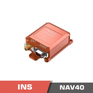
NAV40 Inertial Navigation System (INS)
-
-
- Out of Stock
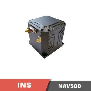
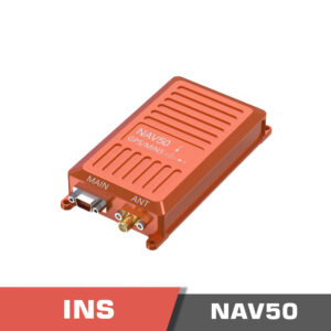
NAV50 Inertial Navigation System (INS)
-


How does a drone Inertial Navigation System (INS) system work?
A drone inertial navigation system is a navigation system that is used in drones and unmanned aerial vehicles in order to control and navigate a drone to perform an automatic mission to go from point A to point B. As the name suggests, the INS system uses sensors that work based on the inertial principles. If the system uses an autopilot, thes inertial measurement sensors (IMU) are already available on the drone. In the following paragraphs, we will talk a little about the background of drone navigation systems and then talk about the INS.
Controlling a drone in general, can be done manually with a pilot or automatically using an onboard autopilot system. As opposed to multirotor drones which have been introduced less than 20 years ago, Fixed-wing planes have been around for many years. Dynamically speaking, fixed-wing airplanes are stable and do not require an autopilot. Thus a pilot can control and navigate them using a remote controller (RC). The output signals of the remote controller are directly connected to the actuators. However, the control range is limited by the range of the remote controller and also the drone should remain in the far sight of the pilot.
Multirotor drones can not be controlled without the help of an onboard autopilot or controller. An onboard inertial measurement unit (IMU) is installed on the drone to measure the attitude of the drone including roll and pitch angles. Having the multirotor drone angles, the controller is able to stabilize the drone using the actuators. Now the remote controller signals are connected to the autopilot to control the drone. Installing an autopilot on the fixed wing planes also helps to have a smoother flight by stabilizing unwanted disturbances of the drone.
Global Navigation Satellite System (GNSS)
In addition to stabilizing the drone, the autopilot can also be used to navigate the drone. In its simplest form, using the Global Navigation Satellite System (GNSS), a mission is defined for the drone to navigate it to the desired location. GNSS relates to any satellite constellation that provides positioning, navigation, and timing (PNT) services on a global or regional basis. GPS (US), QZSS (Japan), BEIDOU (China), GALILEO (EU), and GLONASS (Russia) are a few of the known GNSS systems developed by different countries. A GNSS receiver with an antenna is installed on the drone body, and received data is passed to the autopilot system to control and navigate the drone.
INS vs GPS
GNSS data is not usable in many environments including indoor areas (under the roof or inside a building) or areas where the signal is interfered due to the multi pathing like in urban environments due to the presence of multiple tall buildings. In these scenarios, the drone switches to use the data from onboard IMU sensors for navigation. This system is called an Inertial Navigation System (INS). Inertial navigation system for drones is included in almost all of the recently developed autopilot systems.
In addition to being included in the autopilot systems, there are separate drone inertial navigation systems as well. They have an IMU system inside, and the desired algorithms for performing INS navigation are implemented inside of them. The result then can be transferred to the autopilot to be used for navigation. This helps the autopilot to do less processing as INS systems require a high computational power.
INS working principle
What INS does can be called a form of “Dead-Reckoning”. INS relies on the data read from accelerometers and gyroscopes (onboard IMU sensors of the drone autopilot) to estimate the acceleration and velocity of the drone. Displacement of position can then be determined in relation to a known starting point, velocity, and orientation. Position accuracy is dependent on the accuracy of the estimated velocity and acceleration as well as the time since the last “known” position.
GNSS Aided Inertial Navigation Systems
GNSS Aided Inertial Navigation Systems are more sophisticated systems as they use the location data received from GNSS systems to improve the navigation accuracy. This is due to the reason that INS systems have inherent error. IMU sensors compute linear and angular velocity, which should be integrated in order to calculate the vehicle displacement. This integration means that the error is accumulated and has a higher impact at the end. Therefore, they are more reliable when used with GNSS data. When the GNSS data is lost, the systems switch to the inertial navigation which can be reliable in short time periods.
What are the sensors of INS?
The INS system uses inertial measurement sensors (IMU) to perform the navigation. Those IMU sensors that are available on the drone consist of an accelerometer and gyroscope. They can measure the linear and angular velocity of the drone respectively, and are used to estimate the attitude of the drone. The raw data is too noisy and prone to error due to the disturbances of the drone body. They are installed with a damper to mitigate and damp the vibrations and are further processed by algorithms like Kalman filter to fuse the data of multiple sensors together and improve the accuracy. In addition to that, the IMU is also used by the INS system to calculate the displacement of the drone in 3 axes and do the navigation.
How accurate is the inertial navigation system?
Different INS system can achieve different levels of accuracy. There are models like NAV50 which has 0.75° attitude accuracy and 2.0° heading accuracy, or other more sophisticated systems like vector VN-300 with 0.03° Dynamic Pitch/Roll accuracy and 0.2° Dynamic Heading accuracy.
Inertial navigation system price
Inertial navigation system price can range from as low as 200$ in commercial systems, to more than a few thousand dollars in industrial sensors. Two main factors are important in such systems. First is the IMU sensor which should have low inherent noise levels. Second, the algorithm that is developed to filter the data and calculate the navigation system input. There are both open source systems and proprietary systems that are developed by big companies.
who invented inertial navigation system?
the modern INS as we know it was primarily pioneered by Dr. Charles Stark Draper, an American engineer and professor at the Massachusetts Institute of Technology (MIT).
Draper is often called the “Father of Inertial Navigation” due to his pioneering work in this field. His research at the MIT Instrumentation Laboratory (now Draper Laboratory) laid the foundation for modern INS technology used in aircraft, submarines, spacecraft, and autonomous systems today.