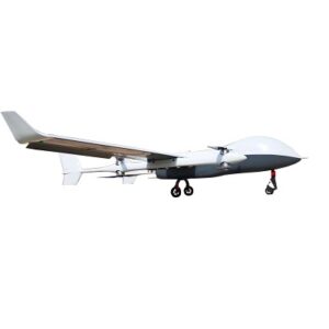
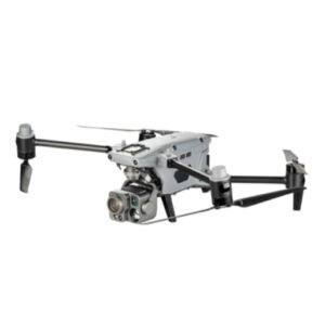
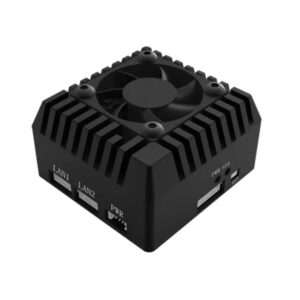
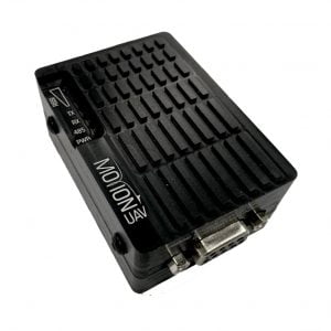

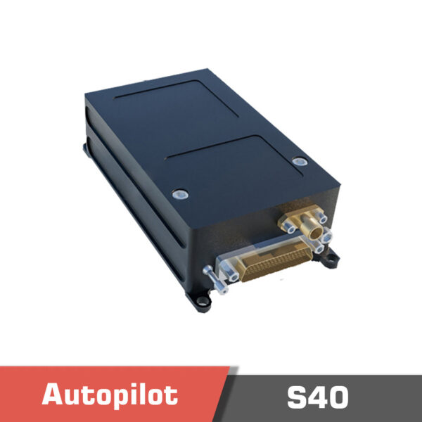

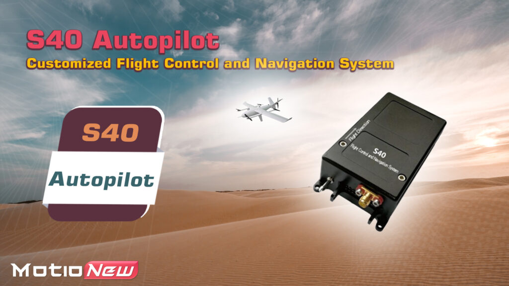
S40 Flight controller, Hybrid UAV Flight Control and Navigation System
4900.00 $
Out of stock

Description
The S40 flight controller (high cost-effectiveness) and navigation system, which is a flight control for drone suits small conventional fixed-wing, vertical take-off and landing fixed-wing, and tilt-rotor layout aircraft. It integrates a flight control computer, a Drone Inertial Navigation System, and a micro-integrated navigation system (GPS/MINS) to achieve One-click automatic takeoff, landing, hovering, circling, return, altitude setting, parachute deployment, and various forms of autonomous cruising along predetermined routes. It also provides comprehensive flight status monitoring and alarm functions and a complete emergency protection mechanism to ensure the safe operation of the system.
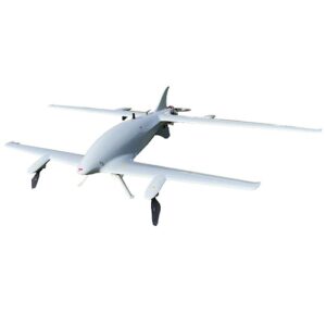
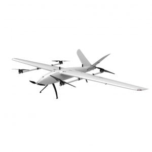
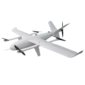
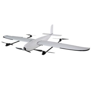
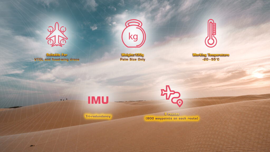
S40 supports four layouts of UAVs (including the conventional tail, V-tail, and flying wing): electric and hydraulic (vertical takeoff and landing fixed wing), conventional fixed-wing, tilt-rotor, and multi-rotor. There is also an integrated micro GPS/MINS navigation system, barometric altimeter, differential pressure airspeed meter, 2-channel speed measurement, and 1-channel fuel quantity measurement.
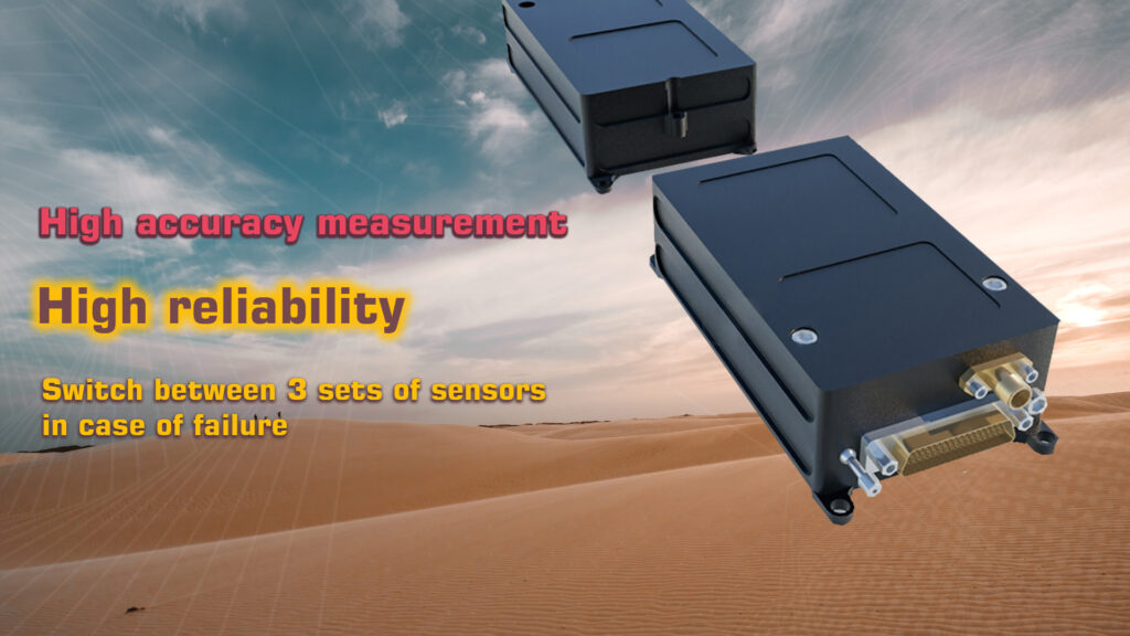
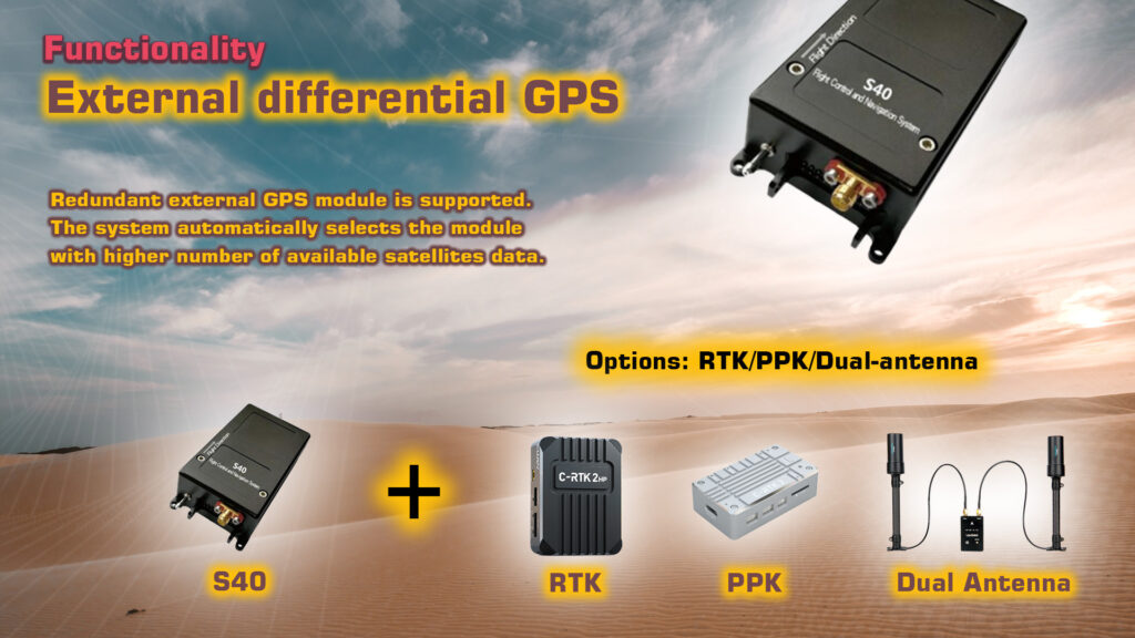
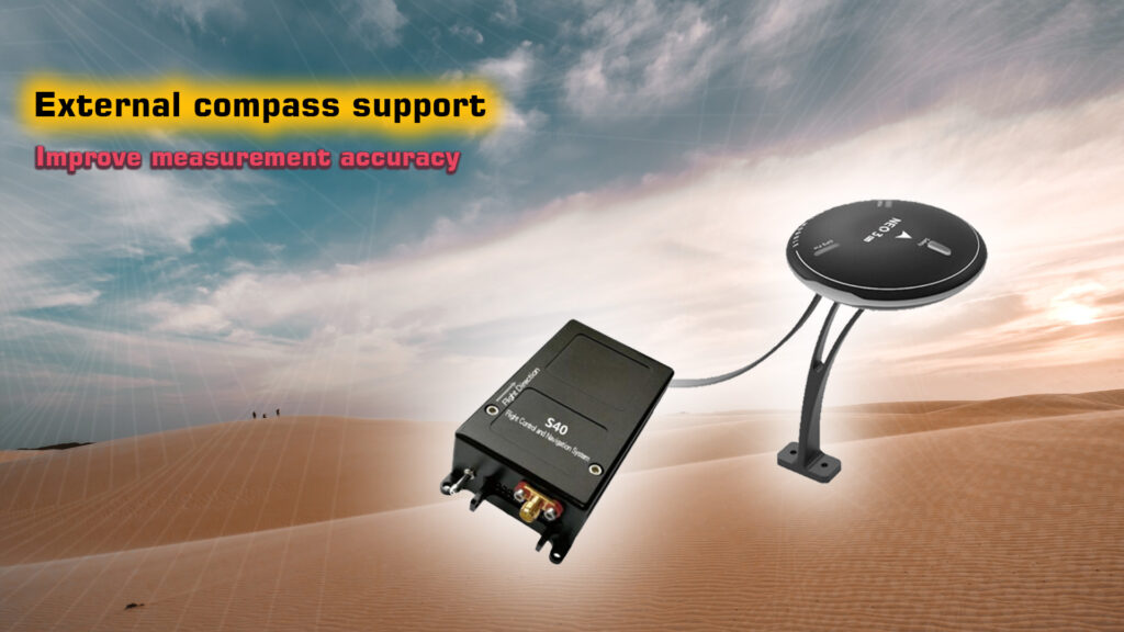
The autopilot supports external differential GPS (RTK/PPK, where the dual-antenna directional function is optional), which is complementary to the internal single-point positioning GPS module. The system automatically selects and uses the one with better positioning status. It also supports an external compass, allowing users to choose an area with less magnetic interference for installation to improve heading measurement accuracy.
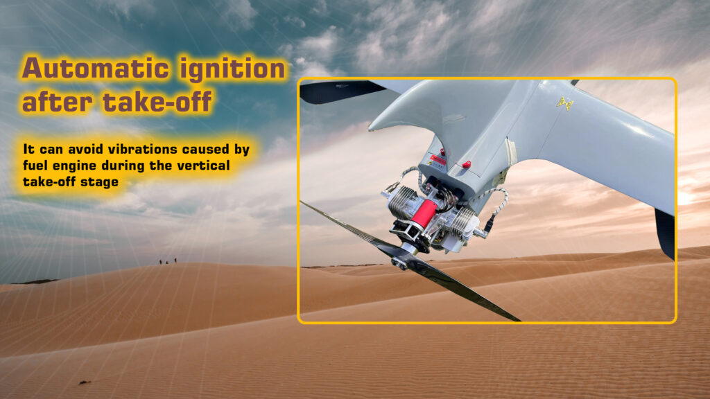
Automatic ignition function after the aircraft with a fuel engine takes off. This reduces the vibrations of the fuel engine and improves the flight performance. The complete emergency protection mechanism can protect against low voltage, low fuel volume, low rotational speed, abnormal attitude, abnormal altitude, low GPS positioning accuracy, navigation system failure, exceeding the safety fence, exceeding the control radius, remote control failure, and more.
Up to 100 emergency landing points can be preset, and in case of emergency protection, it will automatically land at the nearest location. The system provides 8 user routes, each route can add 800 waypoints, automatically generates circling routes, circling center, and circling radius, and the number of circling circles can be set
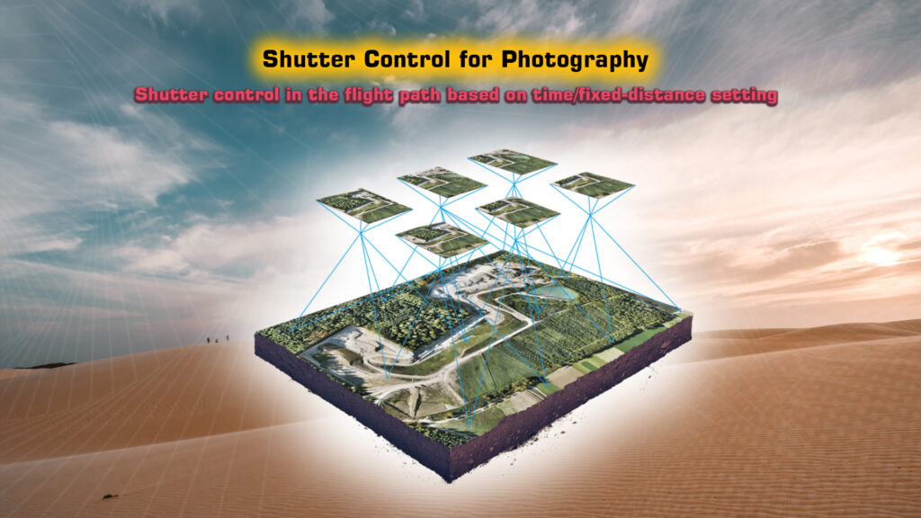
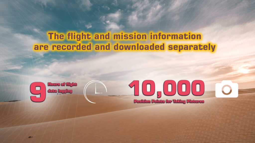
S40 provides photo capturing (shutter control) tasks during the flight paths, and the timing/distance can be set. It also supports typical photoelectric pod, pan/tilt gimbals, and special surveying and mapping cameras. Flight information and mission information are recorded and downloaded separately. The flight information recording time is up to 9 hours.
A ground measurement and control software supports online maps and irregular multi-measurement area automatic surveying and mapping route planning, supports automatic planning of oil, electric power, and other patrol routes, and can alert users to complete pre-flight planning examinations.
Specifications
| Attitude accuracy | 1° |
| Heading accuracy | 2° |
| Positioning accuracy | 2.5m |
| Angular velocity measurement range | ±500°/s |
| Acceleration measurement range | ±4g |
| Height measuring range | 10000m |
| Voltage monitoring range | 0~52v |
| Servo update frequency | 50Hz |
| Engine speed monitoring range | 0~20000rpm |
| Communication Interface | RS-232C |
| Voltage monitoring channel | 2 |
| Engine rotation monitoring channel | 2 |
| PWM control channel | 9 |
| Digital output channel | 3 |
| Extended serial port | 3 |
| SBUS input channel | 1 |
| Number of routes | 8 routes (800 waypoints per route) |
| Built-in data logger | 9 hours |
| Position Points for taking pictures | 10000 |
| Emergency landing point | 100 |
| Supply voltage | 4.5 v- 9v |
| Power Consumption | < 3W |
| Weight | 130g |
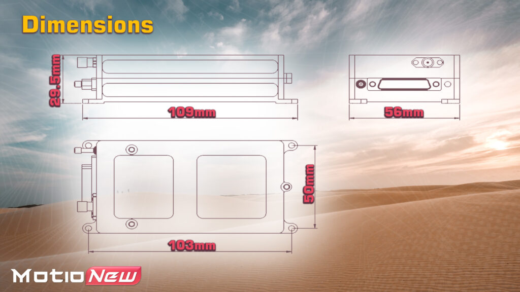
| Dimensions | 109x56x29.6mm |
| Operating Temperature | -20°C~55°C |
| Storage Temperature | -40°C~85°C |
Product contents
Please contact us for more information.
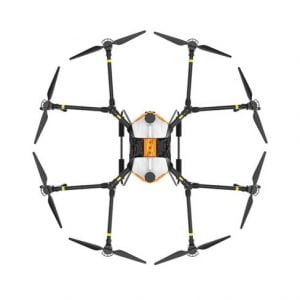
Related products
-

-
NEW Holybro Pixhawk 6X UAV Flight Controller ICM-45686
- 149.00 $ – 384.00 $
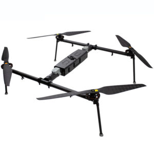
-
-
-
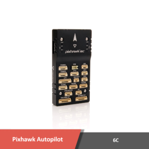
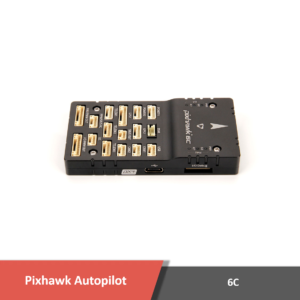
NEW Holybro Pixhawk 6C UAV Flight Controller
- 149.00 $ – 277.00 $
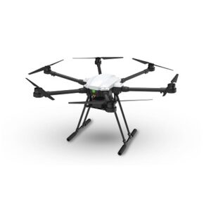
-
-
-
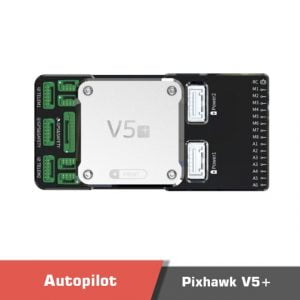
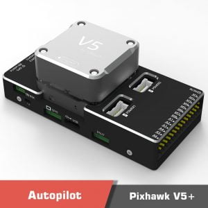
CUAV Pixhawk V5+ UAV Flight Controller
- 335.00 $ – 1170.00 $
-
1 review for S40 Flight controller, Hybrid UAV Flight Control and Navigation System