15,900.00 $ Payment Methods:

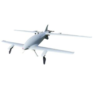
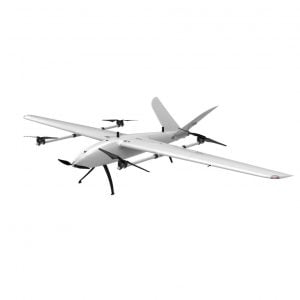
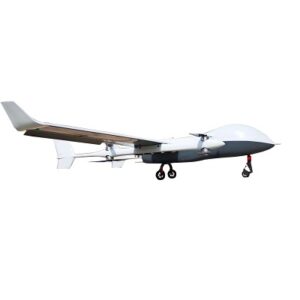
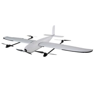
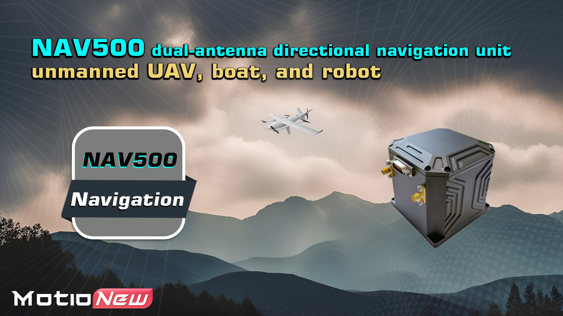
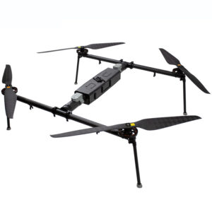
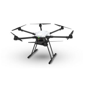
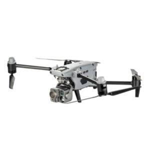
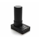
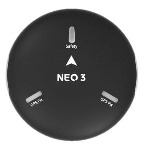
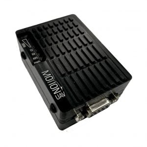
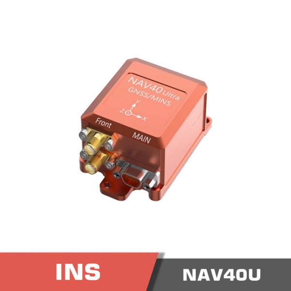
NAV500 Inertial Navigation System (INS) | Dual-antenna directional navigation unit
![]()
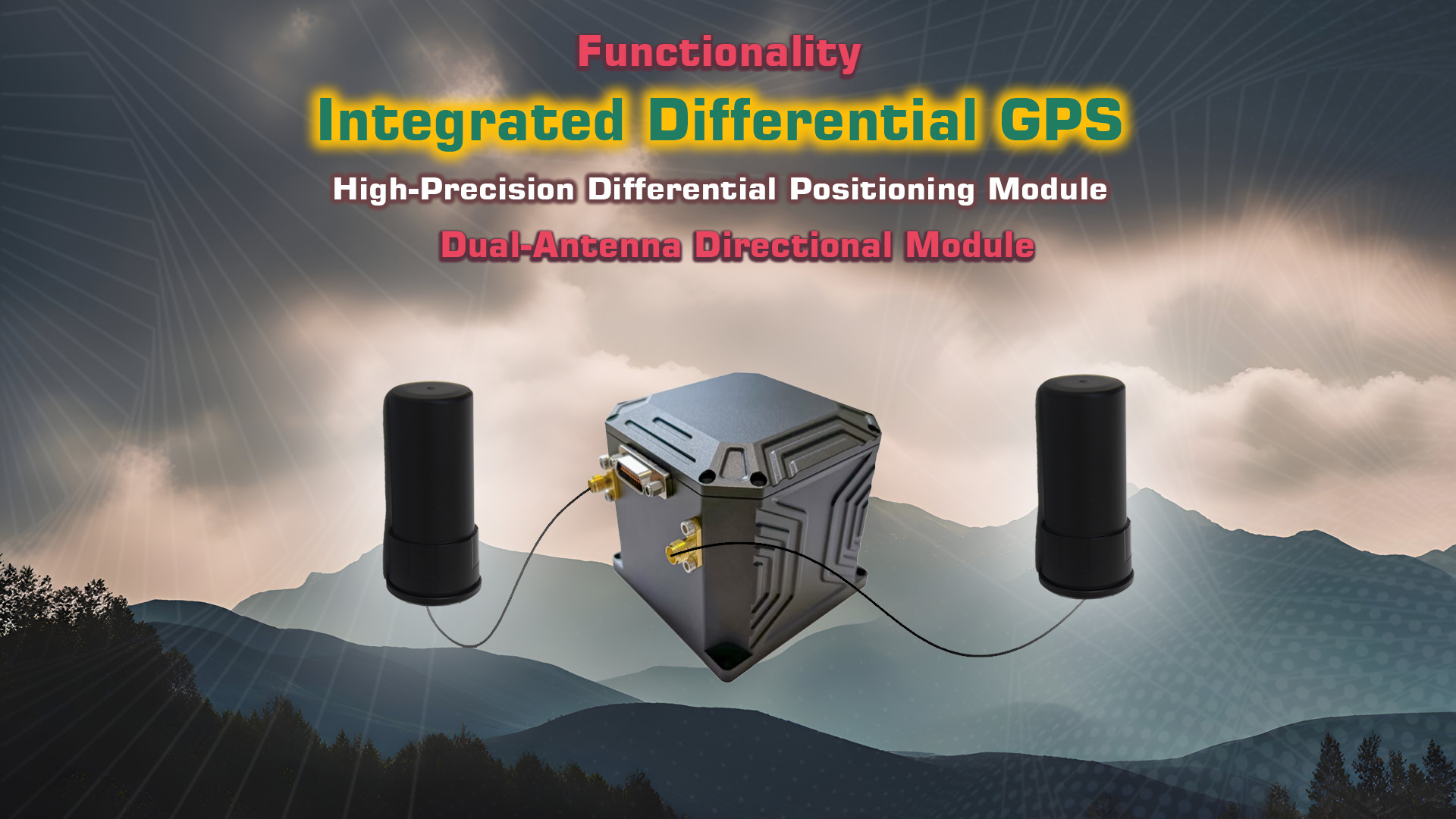
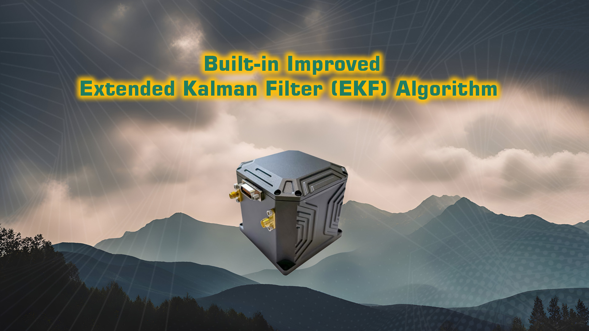
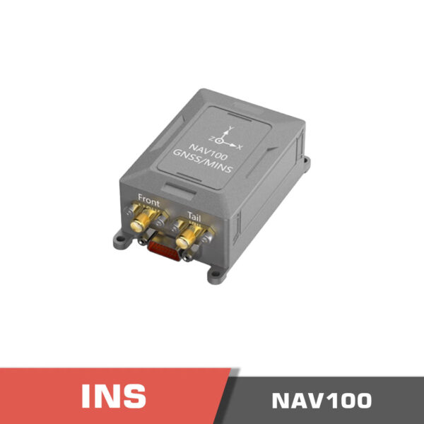
NAV500 INS is a cost-effective, compact fiber-optic inertial/satellite combined navigation system with a built-in three-axis high-precision fiber-optic gyroscope, a three-axis high-precision accelerometer, and a high-precision barometer. It integrates a full-system full-frequency GNSS dual-antenna board internally and can perform inertial/satellite combined navigation. When the GNSS information is invalid, it has a high ability to maintain pure inertial navigation accuracy.

NAV500 Inertial Navigation System (INS) – FAQ
1. What is the main function and design of the NAV500 INS?
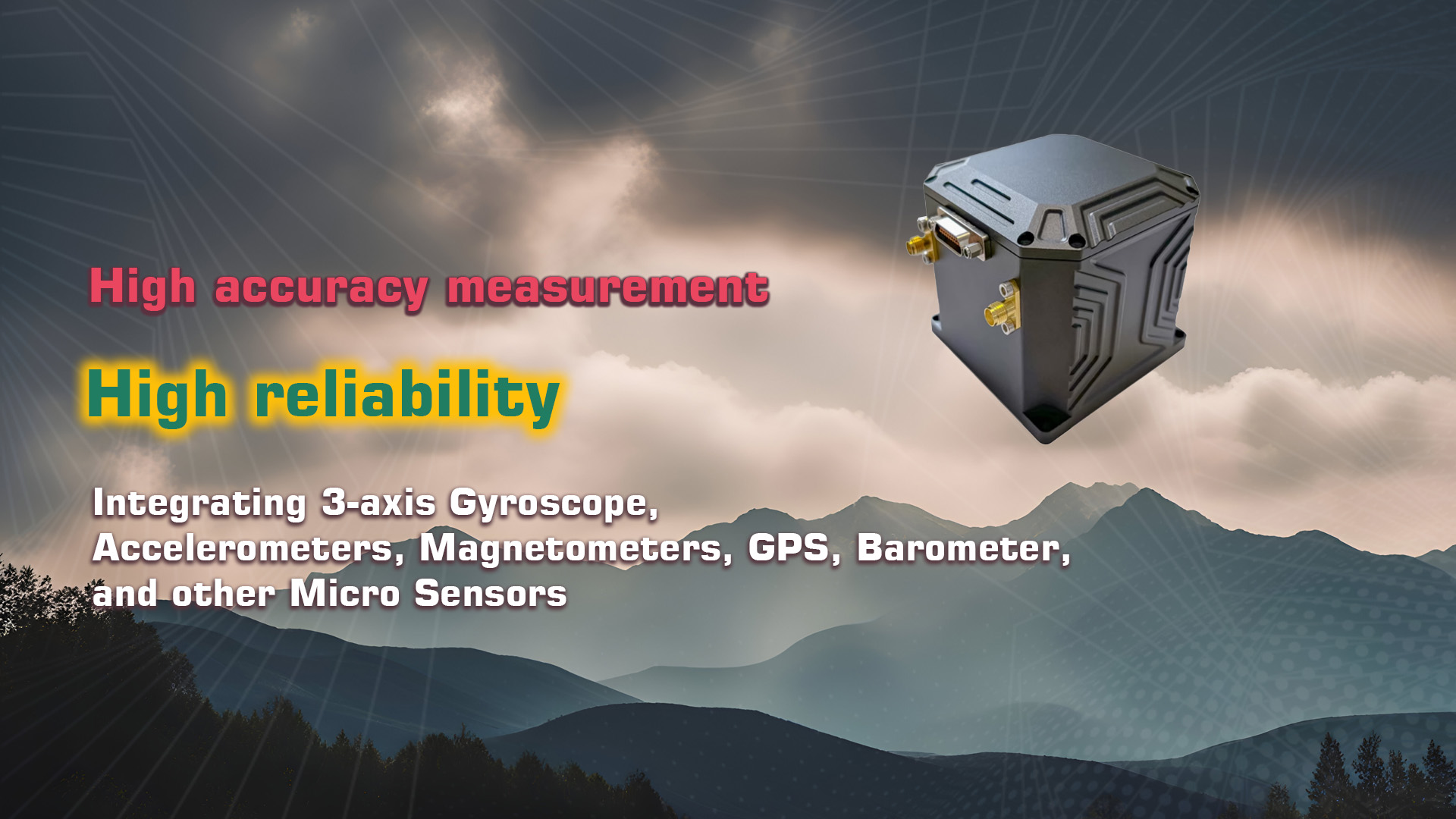
The NAV500 is a professional-grade inertial navigation system that combines a dual-antenna RTK GNSS receiver with a high-performance IMU. It provides centimeter-level positioning, precise heading, and attitude data for UAVs, robotics, and autonomous platforms.
2. What core technologies and sensors are integrated?
It includes a dual-frequency GNSS receiver, 3-axis gyroscopes, accelerometers, magnetometers, and a barometer. Its advanced sensor fusion algorithm (EKF) ensures reliable performance even in GNSS-denied environments.
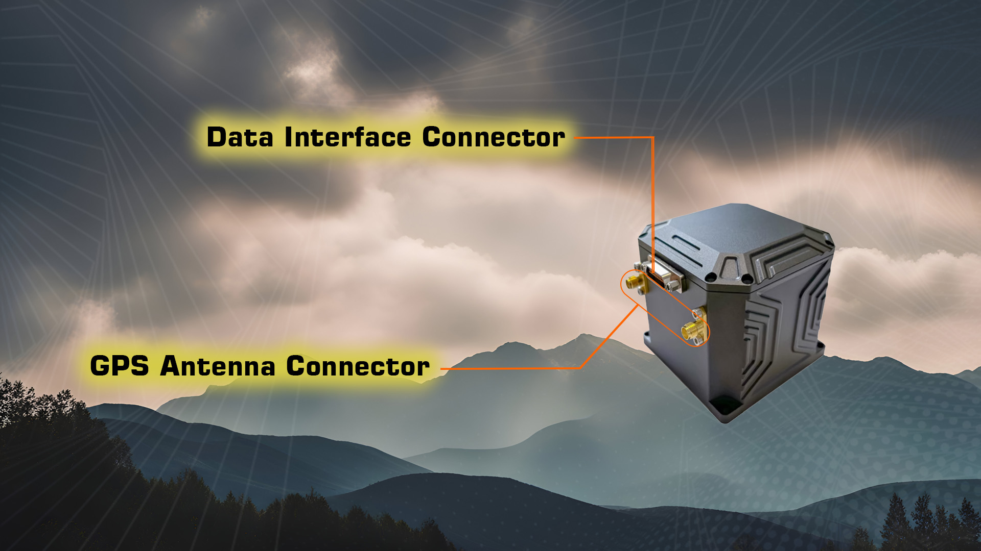
3. What communication interfaces and integration options are supported?
The system supports UART, CAN, and Ethernet interfaces, and outputs standard NMEA and RTCM messages. It integrates easily with PX4- and ArduPilot-based flight controllers and industrial-grade autopilot systems.
4. What are the purchasing and delivery options for the NAV500 INS?
The NAV500 is available as a complete navigation system with antennas and cables. Motionew offers international shipping with tracking and estimated delivery times displayed during checkout.
5. Does Motionew support OEM and bulk purchasing for this model?
Yes. OEM and volume purchasing options are available for UAV developers and autonomous system manufacturers. Buyers can request custom configurations, interface adjustments, and quantity-based pricing through Motionew’s sales department.
6. What documentation and support resources are provided?
Comprehensive setup manuals, wiring diagrams, and calibration guides are included in the documentation section. Firmware tools, integration assistance, and ongoing technical support are available through Motionew’s engineering support teams.
| Positioning Accuracy | (GNSS valid single point) | 1.2m (RMS) |
| GNSS valid RTK | 1cm + 1ppm (RMS) | |
| Pure inertial horizontal positioning | 100m/5min (CEP) | |
| 500m/10min (CEP) | ||
| 1.5mile/30min (CEP) | ||
| Heading Accuracy | Single Antenna | 0.1° |
| Dual Antenna | 0.2°/L (RMS) | |
| Course Keeping | 0.2°/30min (RMS) | |
| 0.5°/h (RMS) | ||
| Attitude Accuracy | GNSS Valid | 0.02° (RMS) |
| Attitude Hold (GNSS Valid) | 0.2°/30min (RMS) | |
| 0.5°/h (RMS) | ||
| Speed Accuracy | GNSS Valid (single point L1/L2) | 0.1m/s (RMS) |
| Fiber Optic Gyroscope | Maximum Range | ±500°/s |
| Bias Stability | <0.2°/h | |
| MEMS Accelerometer | Maximum Range | ±40g |
| Bias Stability | <75μg | |
| Electrical Characteristics | Voltage | 9~36v |
| Power Consumption | ≤12W | |
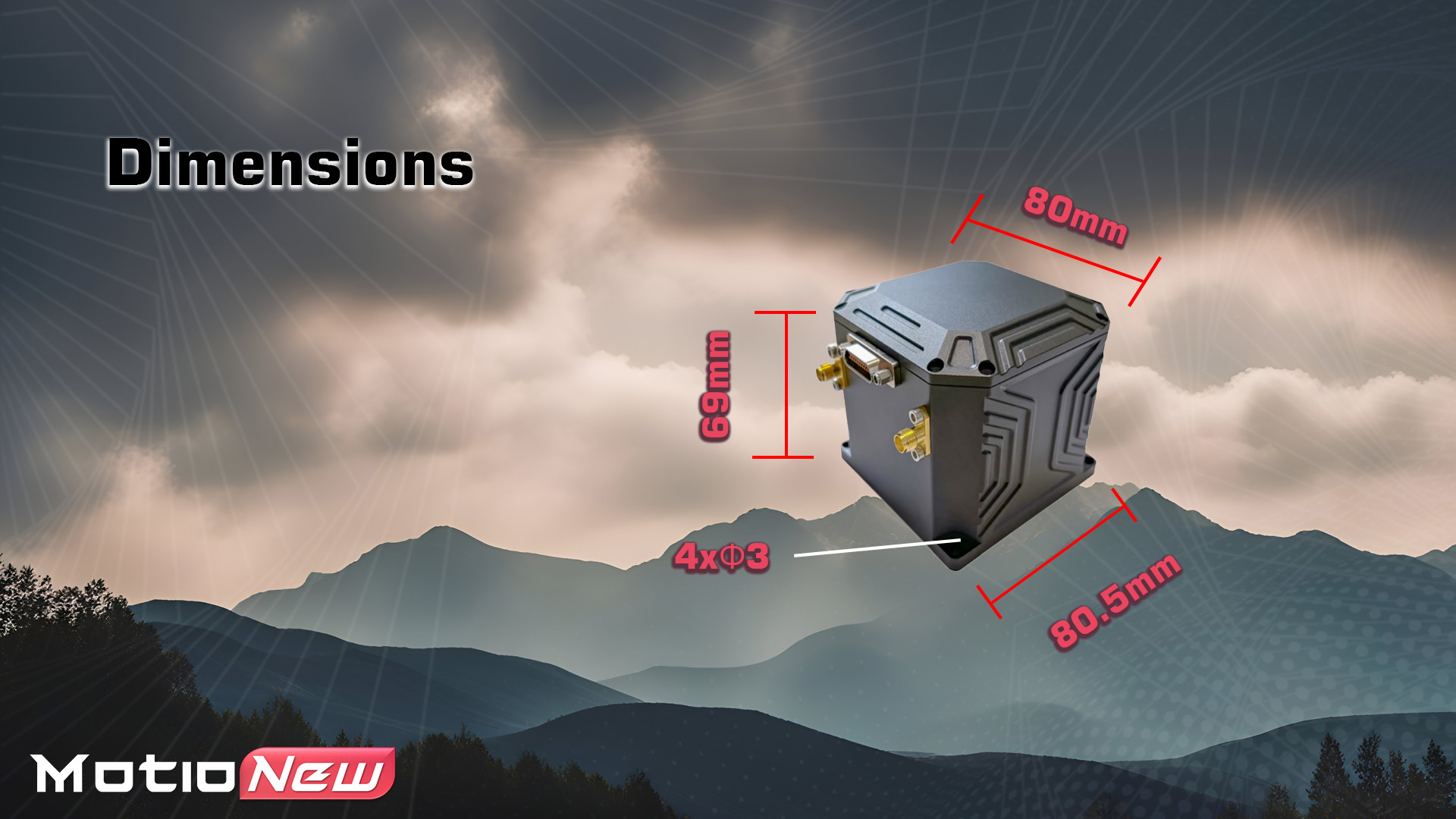
| Physical Size | Dimensions | 80×80.5x69mm |
| Weight | ≤560g | |
| Environmental | Working Temperature | -45°C ~ +70°C |
| Storage Temperature | -55°C ~ +80°C | |
| Life Span | > 15 years | |
| Working hours | >24 hours | |
| Interface Features | 2x RS422 (can be configured as RS232) | |
| 3x RS232 | ||
| 2x PPS | ||
Please contact us for more information.
click here to download NAV500 Inertial Navigation System (INS) Manual
You must be logged in to post a review.

No account yet?
Create an Account


Reviews
Clear filtersThere are no reviews yet.