


Important Notice!
This product requires export license. MotioNew can apply for export license for this product for your company. Please contact us for more information before purchasing.
If your company intends to export UAV products from China, it is necessary to comply with Chinese regulations. MotioNew products cannot be used for military, terrorist, or war purposes. Please read our Terms of Service for more information.
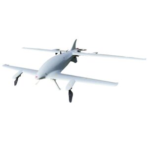
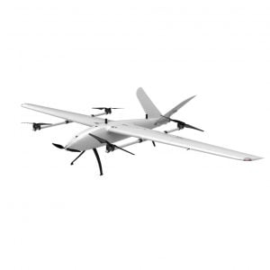
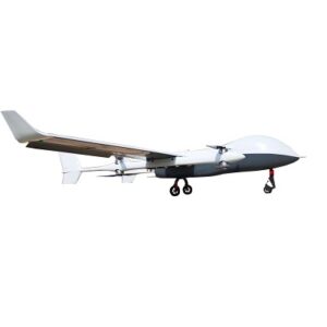
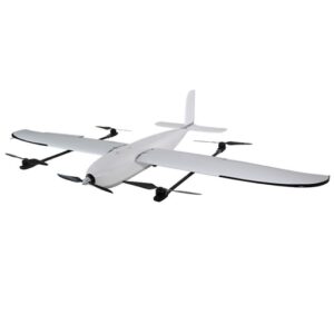
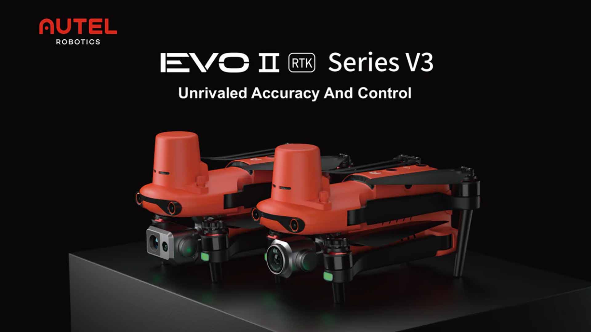
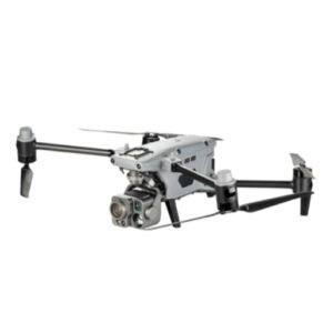
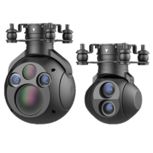
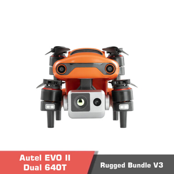
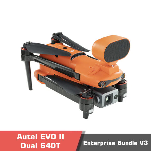
The Autel EVO II Dual 640T RTK Rugged Bundle V3 is a cutting-edge UAV system engineered for surveying, mapping, inspection, and emergency response applications. With a dual-camera payload, radiometric thermal imaging, and an advanced RTK positioning module, this drone is purpose-built for professionals who demand precision, accuracy, and reliability in the most challenging environments.
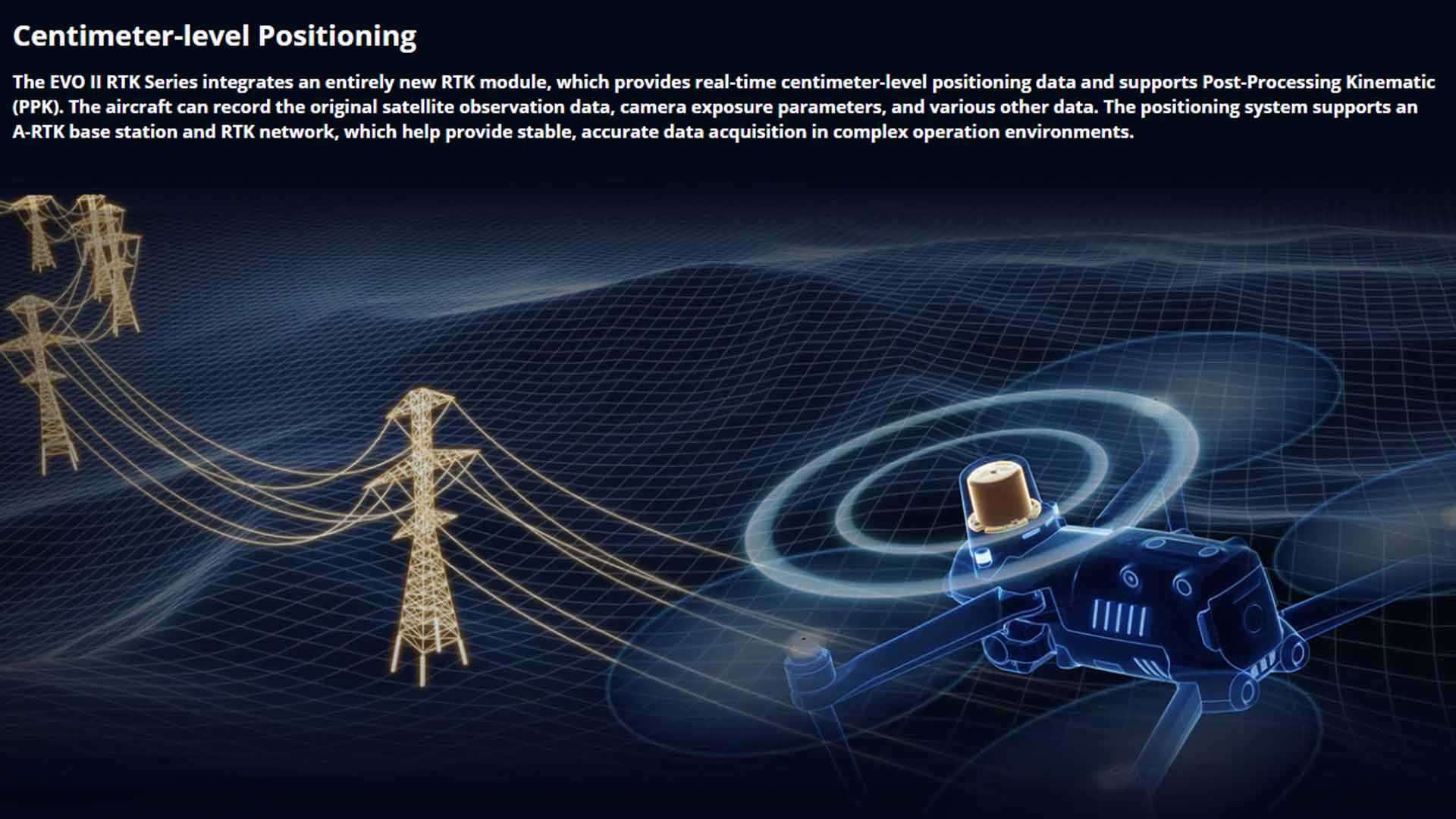
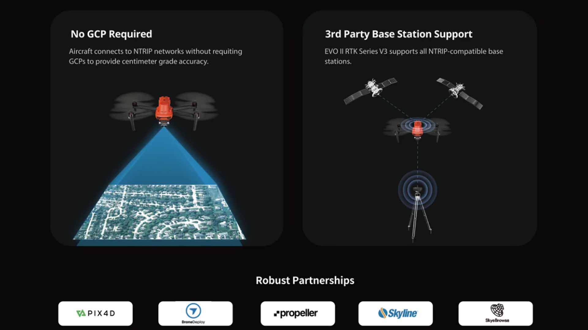
Equipped with a high-precision RTK (Real-Time Kinematic) module, the EVO II Dual 640T RTK enables centimeter-level positioning accuracy. Supporting Post-Processed Kinematic (PPK) workflows and time synchronization, it ensures geo-tagged data is aligned to survey-grade standards — ideal for construction, mining, and infrastructure inspections.
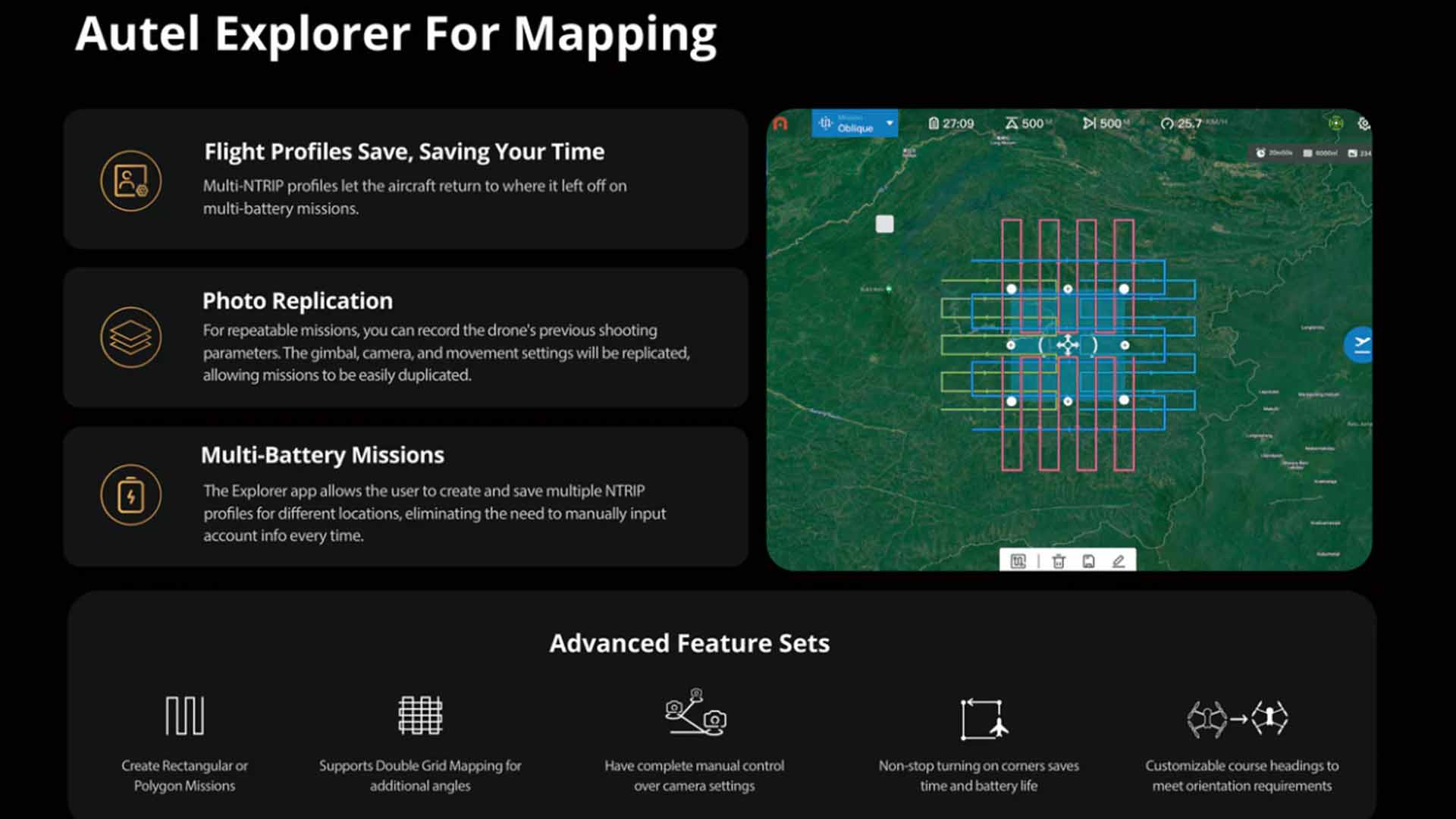
With options for Rectangular or Polygon mission planning, this drone supports automated flight paths for repeatable data collection, ideal for progress monitoring, volumetric analysis, or wide-area thermal mapping.
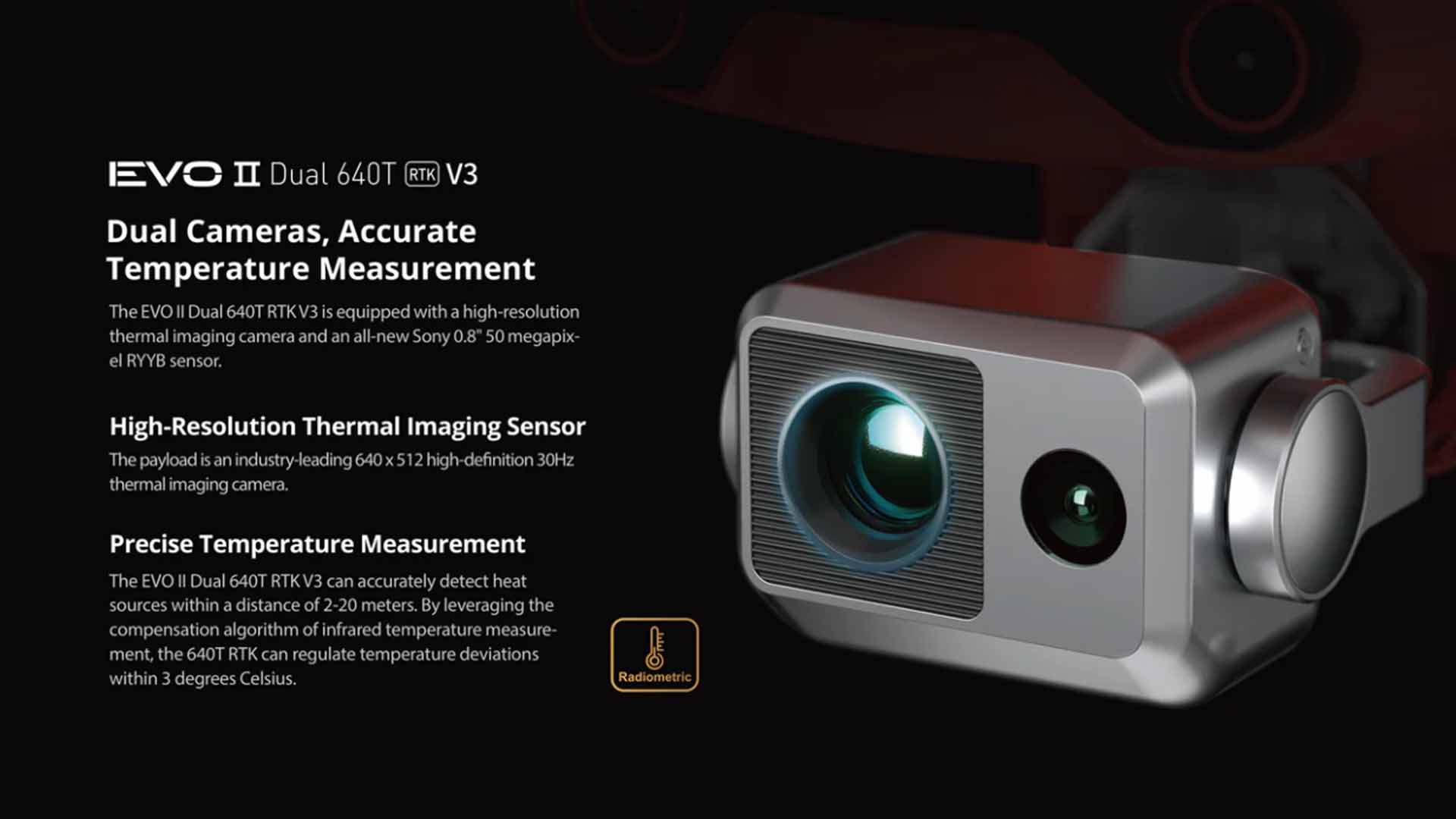
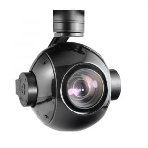
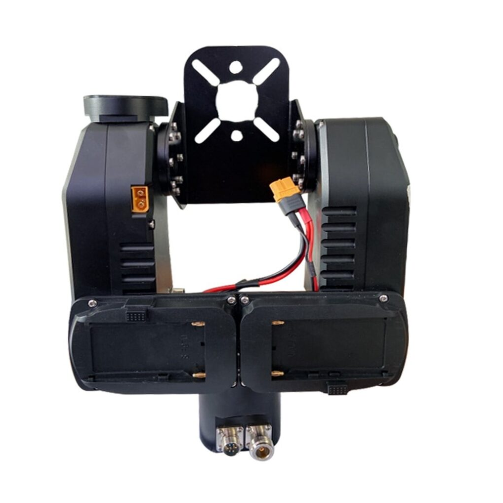
At its core, this Multirotor drone features a dual-camera setup with:
640×512 thermal imaging sensor
13mm thermal lens with 16x digital zoom
Radiometric temperature detection for accurate surface temperature readings
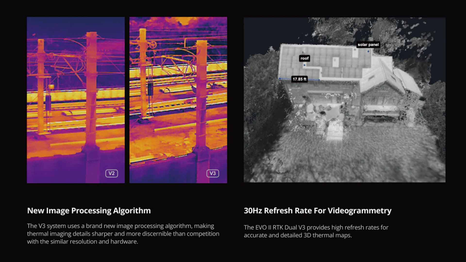
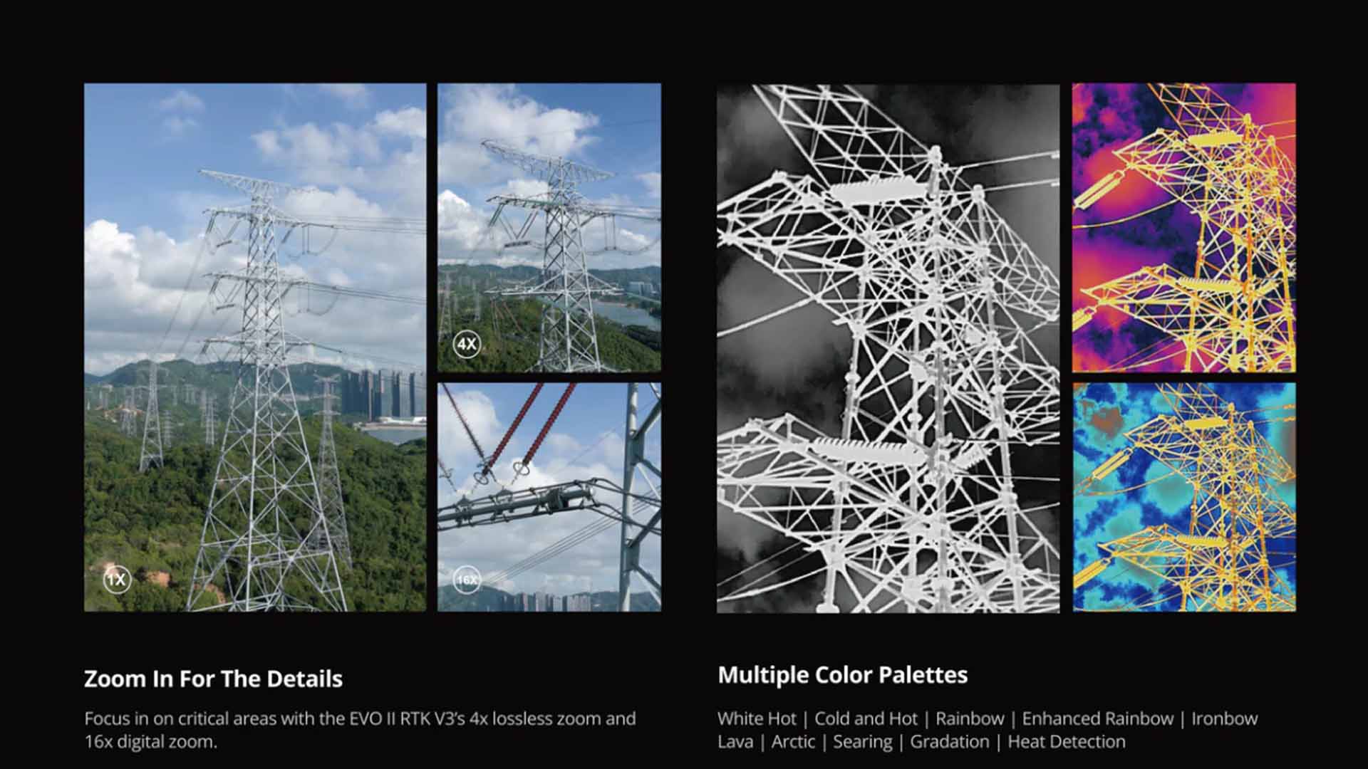
10 thermal color palettes and Picture-in-Picture (PiP) mode
30Hz refresh rate for smooth thermal video output
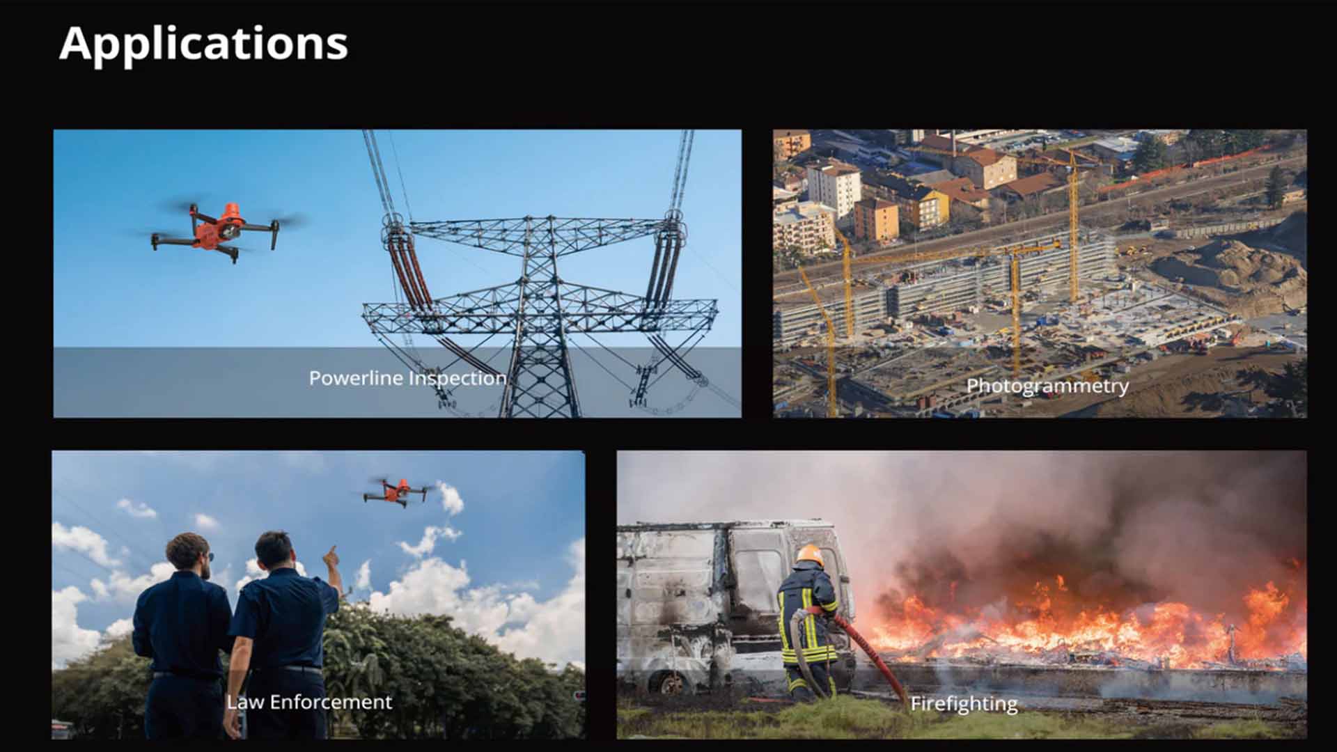
This advanced thermal payload allows operators to detect heat signatures from humans, vehicles, or equipment up to 100 meters away, supporting public safety, inspection, and rescue missions.
The visual camera delivers rich detail with support for 10-bit A-log, providing enhanced flexibility for color grading and post-production workflows. This feature is especially valuable in media production, documentation, and inspection analysis.
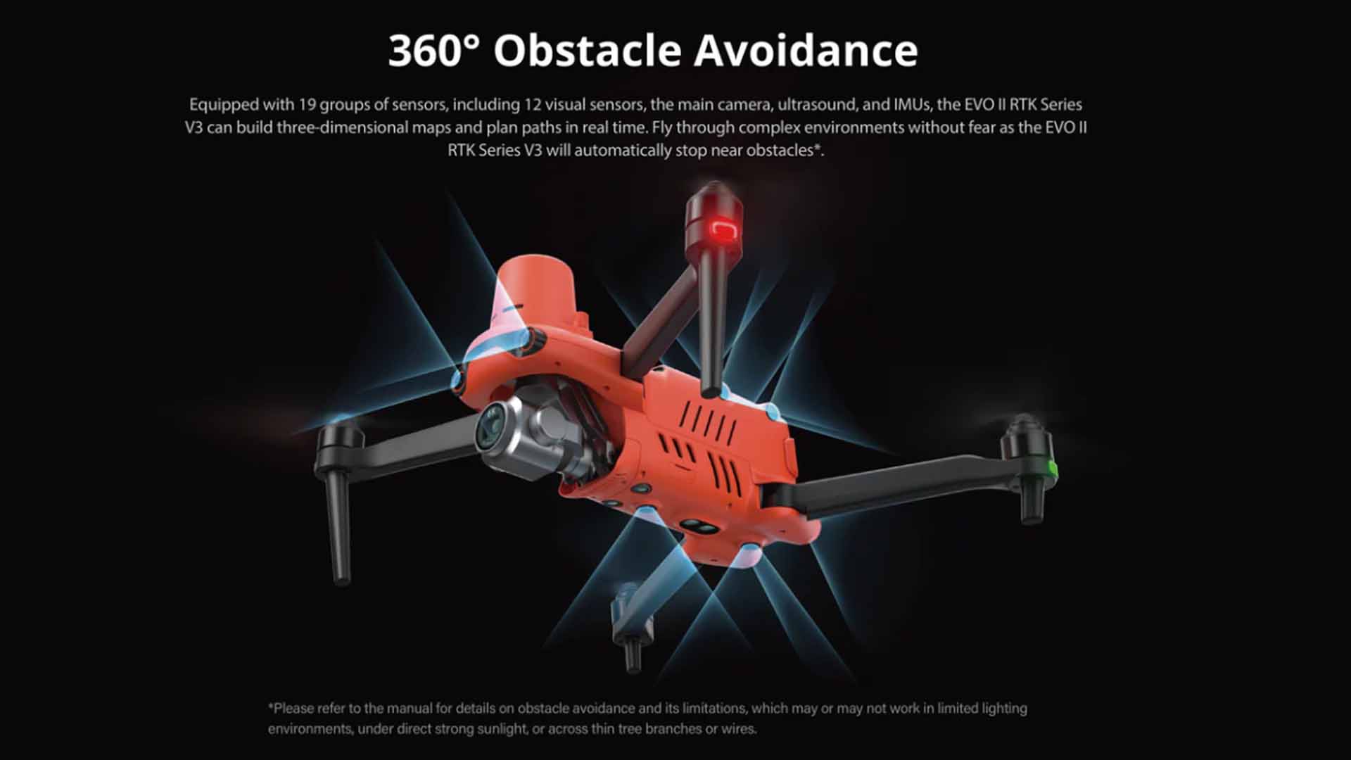
Navigate complex environments with confidence thanks to the drone’s 360° obstacle avoidance system, powered by 19 sensor groups. Autel’s advanced algorithms ensure smooth autonomous navigation and responsive manual control.
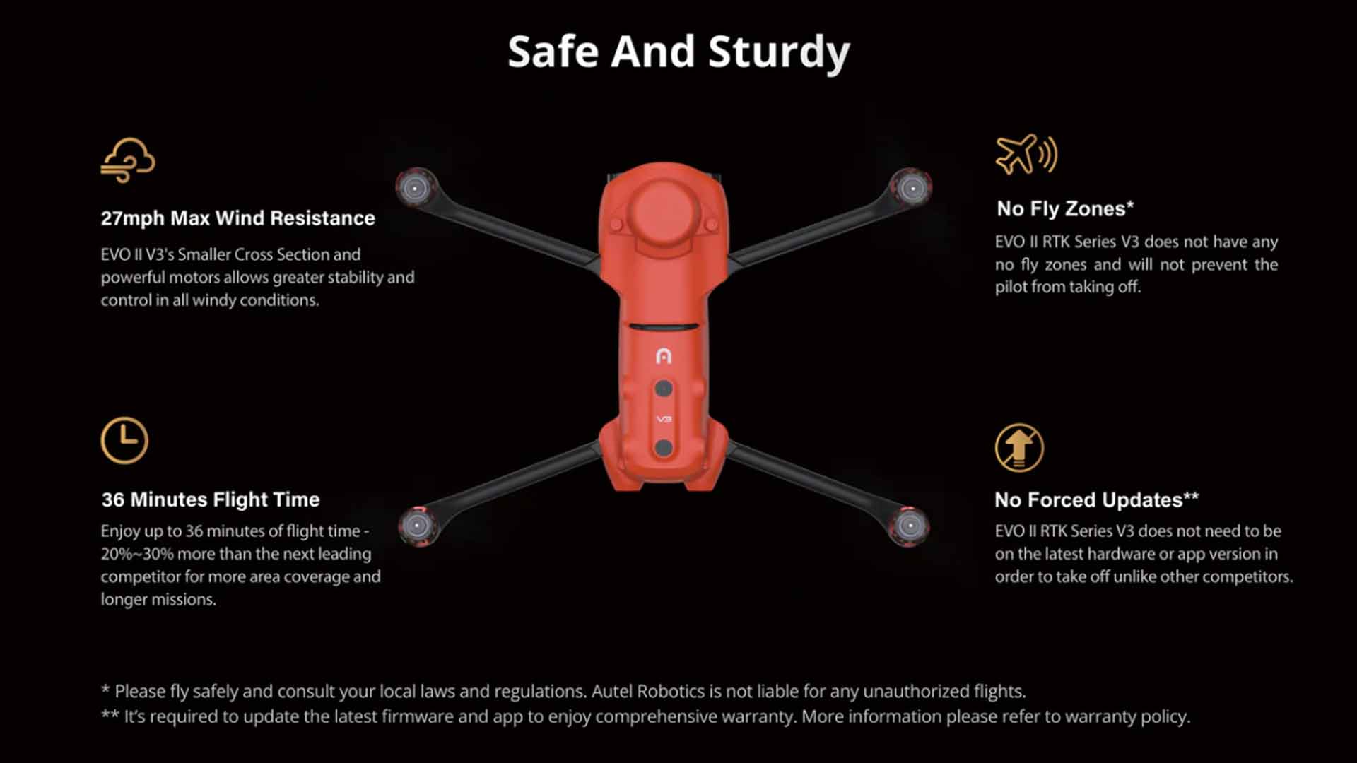
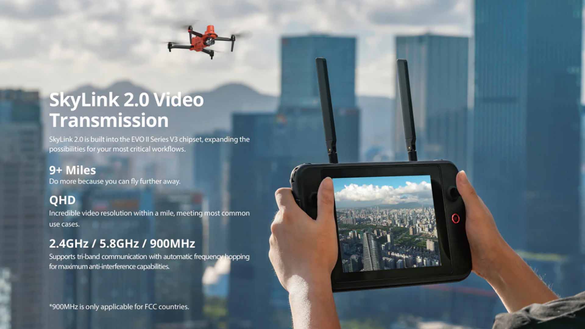
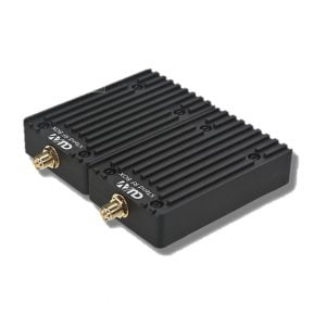
With a maximum flight time of 38 minutes, operators can cover more ground per mission. The drone reaches speeds of up to 45 mph and maintains a 9-mile transmission range, offering exceptional range and performance even in remote or GPS-denied areas.
Whether you’re capturing geo-referenced data for surveying or thermal anomalies for critical infrastructure, the Autel EVO II Dual 640T RTK V3 delivers unmatched performance. Its rugged design, powerful imaging system, and centimeter-level accuracy make it the go-to solution for industries that rely on precision UAV technology.
If you have any questions regarding our products, use the Motionew Contact us to consult our engineering team.
1. What are the main features of the EVO II Dual 640T RTK Rugged Bundle V3?
This drone features a dual thermal and visual camera, integrated RTK module for centimeter-level accuracy, and 360° obstacle avoidance, ideal for mapping, inspection, and emergency response.
2. What are the thermal imaging capabilities?
It includes a 640×512 thermal sensor, supporting temperature measurement, isotherm detection, and high-contrast thermal imaging for detailed heat analysis.
3. What is the maximum flight time and transmission range?
The drone provides up to 38 minutes of flight time and supports a 15 km image transmission range under optimal conditions.
4. What payment methods are available?
MotioNew accepts major international credit/debit cards and bank wire transfers, ensuring secure and efficient payment processing.
5. Is OEM customization available for enterprise clients?
Yes. OEM branding, payload integration, and software customization are available for enterprise or bulk purchase orders.
6. What documents are included with the product?
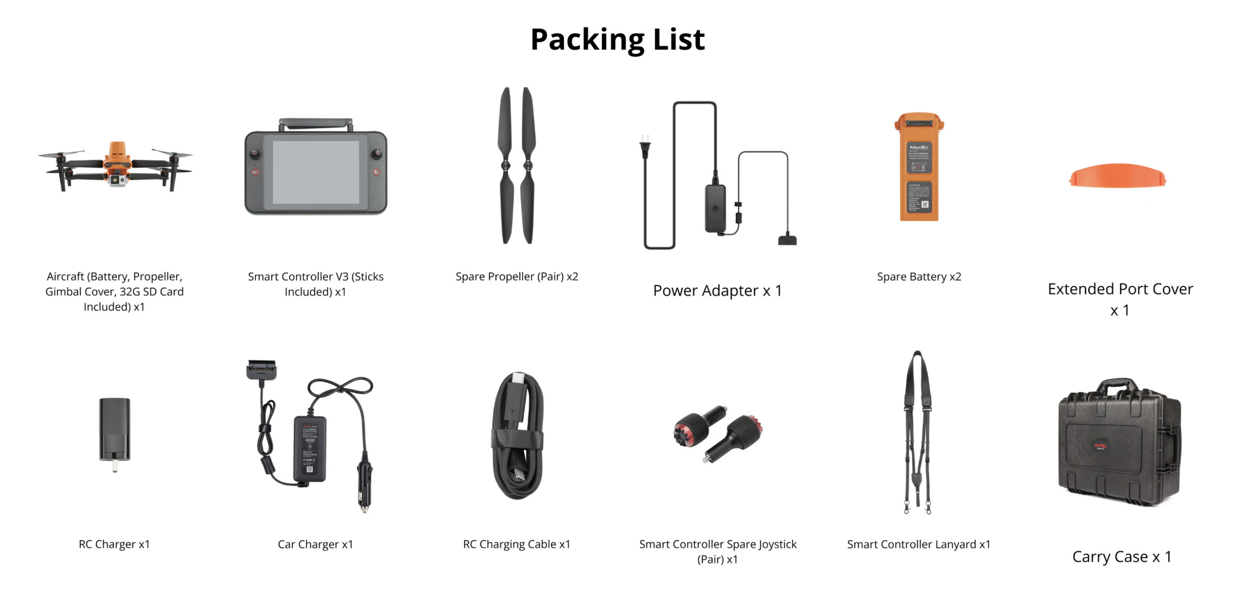
Each package comes with a user manual, technical datasheet, and RTK configuration and setup guide, along with access to online firmware updates and support resources.
Aircraft
| Weight (with propeller and battery) | 1250g±0.5g(EVO II Dual 640T RTK V3) |
| Max takeoff weight | 1999 g |
| Size(L*W*H) | 230*130*143mm(folded) 457*558*143mm(unfolded) |
| Wheelbase | 397 mm |
| Maximum Service Ceiling Altitude | 7000 m |
| Max ascent speed | 8 m/s (Ludicrous) |
| Max descent speed | 4 m/s (Ludicrous) |
| Max horizontal flight speed | 20m/s (Ludicrous) |
| Max flight distance (no wind) | 21 km |
| Max angular velocity | 120°/s |
| Max tilt angle | 33° (Ludicrous) |
| Max flight time | 36 min |
| Max hovering time (no wind) | 32 min |
| Operating temperature range | -10℃ ~ 40℃ |
| Maximum resistance to wind | Level 8 |
| Operating frequency | 902-928MHz (FCC Only) 2.400-2.4835GHz 5.725-5.850GHz (non-Japan) 5.650-5.755GHz (Japan Only) |
| Transmission power | 900M FCC/ ISED:≤31dBm 2.4G FCC/ ISED:≤32dBm SRRC/CE/MIC/RCM:≤20dBm 5.8G (non-Japan) ; 5.7G (Japan) FCC/ISED/SRRC/MIC:≤33dBm CE/ RCM:≤14dBm |
| Hovering accuracy | When RTK is enabled and working normally: Vertical: ±0.1 m; Horizontal: ±0.1 m |
| Vertical: ±0.1 m (when the visual positioning is working normally); ±0.5 m (when GPS works normally) Horizontal: ±0.3 m (when the visual positioning is working normally); ±1.5 m (when GPS works normally) |
|
| Image position compensation | The position of the camera center relative to the phase center of the airborne A-RTK antenna, under the body axis system: (-2.63, 0.31, 83.5) mm, and the photo EXIF coordinates have been compensated. The positive XYZ axis of the body axis system points to the front, right, and bottom of the aircraft respectively. |
| Internal storage | 8GB |
| SD storage | max. support 256GB (UHS-3 or Class 10) |
Gimbal
| Gimbal | 3-axis stabilization |
| Mechanical range | Tilt: -135° to +45°; Pan: -100° to +100° |
| Controllable rotation range | Tilt: -90° to +30°; Pan: -90° to +90° |
| Max control speed (Tilt) | 300°/s |
| Angular Vibration Range | ±0.005° |
Sensing System
| Sensing system type | Omnidirectional sensing system |
| Forward | Accurate measurement range: 0.5-18 m Effective sensing speed: <12m/s Viewing angle: Horizontal: 60°, Vertical: 80° |
| Backward | Accurate measurement range: 0.5-16 m Effective sensing speed: <12m/s Viewing angle: Horizontal: 60°, Vertical: 80° |
| Upward | Accurate measurement range: 0.5-10 m Effective sensing speed: <5m/s Viewing angle: Horizontal: 65°, Vertical: 50° |
| Downward | Accurate measurement range: 0.5-10 m Effective sensing speed: <5m/s Viewing angle: horizontal: 100°, vertical: 80° |
| Left and right | Accurate measurement range: 0.5-10 m Effective sensing speed: <5m/s Viewing angle: horizontal: 65°, vertical: 50° |
| Operating Environment | Forward, Backward and Sides: Surface with clear pattern and adequate lighting (lux > 15) Upward: Detects diffuse reflective surfaces (>20%) (walls, trees, people, etc.) Downward: Surface with clear pattern and adequate lighting (lux > 15) Detects diffuse reflective surfaces (>20%) (walls, trees, people, etc.) |
GNSS
| Single frequency high sensitivity GNSS | GPS+BeiDou+Galileo(Asia) GPS+GLONASS+Galileo(Other areas) |
| Multi-frequency multi-system high-precision RTK GNSS | Frequency points used: GPS:L1/L2; GLONASS:L1/L2; BeiDou:B1/B2; Galileo:E1/E5 |
| First positioning time: <50 s | |
| Positioning accuracy: vertical 1.5 cm + 1 ppm (RMS); Horizontal 1 cm + 1 ppm (RMS) 1 ppm means that the error increases by 1 mm for every 1 km the aircraft moves |
Thermal Camera
| Sensor | Uncooled VOx Microbolometer |
| Lens | FOV H33°V26° |
| Focal length 13mm | |
| Zoom | 1-16x |
| Pixel size | 12μm |
| Wavelength range | 8 – 14μm |
| Temperature range | High gain mode: -20° to +150° Low gain mode: 0° to +550° |
| Temperature measurement accuracy | ±3℃ or ±3% of reading (whichever is greater) @Environmental temperature-20℃~60℃ |
| Accurate temperature measurement distance |
2-20 meters |
| Video resolution | 640×512@30fps |
| Video format | MOV / MP4 (Support H.264/H.265) |
| Camera resolution | Infrared mode: 640*512 Picture-in-picture mode: 1920*1080, 1280*720 |
| Photo mode | Single shot Burst shooting: 3/5 frames, 3 is the default Time Lapse:JPG: 2s/5s/7s/10s/20s/30s/60s |
| Photo format | JPG (with irg file) |
Visual Camera
| Sensor | 1/1.28″(0.8″) CMOS; 50M effective pixels |
| Lens | FOV: 85° 35 mm format equivalent focal length: 23 mm Aperture: f/1.9 Focus range: 0.5 m to infinity (with auto focus) |
| ISO range | Video: 100-64000 Photo: 100-6400 |
| Shutter speed | Photo mode: 1/8000 ~ 8s Other: 1/8000 ~ 1/frame rates |
| Zoom | 1-16x (up to 4x lossless zoom) |
| Photo mode | Single shot/Burst shooting/AEB/Time Lapse/HDR imaging |
| Maximum photo size | 8192*6144(4:3) 4096*3072(4:3) 3840×2160(16:9) |
| Image Format | JPG (default) / DNG / JPG+DNG |
| Video format | MOV / MP4 |
| Video resolution | 3840x2160P60/P50/P48/P30/P25/P24 2720x1528P60/P50/P48/P30/P25/P24 1920x1080P60/P50/P48/P30/P25/P24 |
| Max bitrate | 120Mbps |
| Supported file system | FAT32/exFAT |
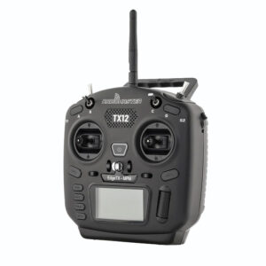
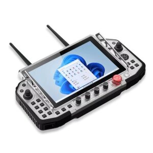
Remote Controller and Transmission
| Operating frequency | 902-928MHz (FCC Only) 2.400-2.4835GHz 5.725-5.850GHz (non-Japan) 5.650-5.755GHz (Japan Only) |
| Effective Isotropic Radiated Power (EIRP) |
FCC:≤33dBm CE:≤20dBm@2.4G,≤14dBm@5.8G SRRC:≤20dBm@2.4G,≤33dBm@5.8G/5.7G |
| Max Transmission Distance (unobstructed, free of interference) | FCC:15km CE:8km |
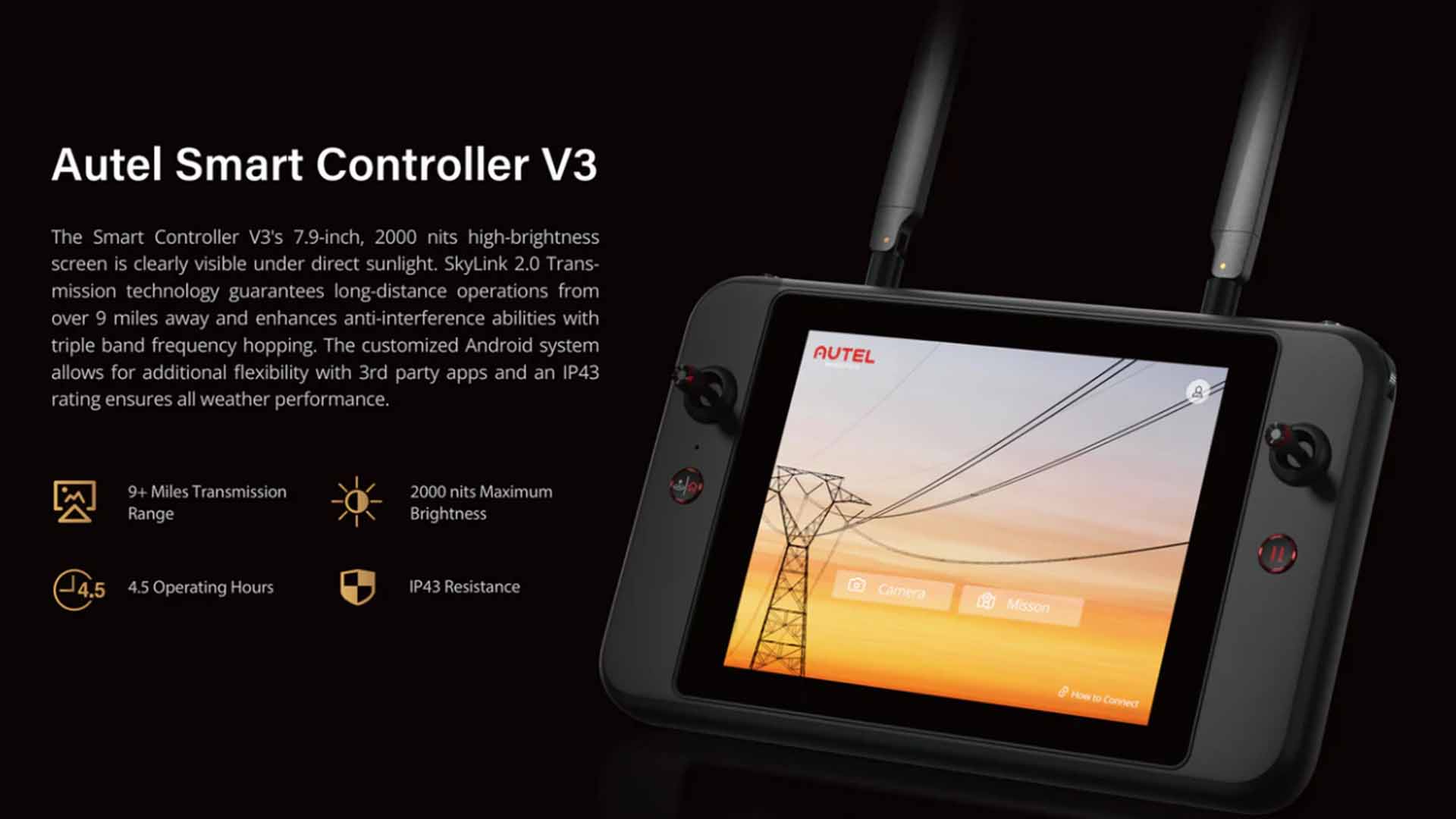
| Display screen | 2048×1536 60fps |
| Battery | 5800mAh |
| Operating time | ~3 hours (Max. Brightness) ~4.5 hours (50% Brightness) |
| Charging time | 90 minutes (charging time is related to actual remaining power) |
| Internal Storage | ROM 128GB |
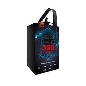
Battery
| Capacity | 7100 mAh |
| Voltage | 11.55 V |
| Battery type | LiPo 3S |
| Energy | 82 Wh |
| Weight | 365 g |
| Charging temperature range | 5℃ to 45℃ |
| Storage temperature and humidity | -10~30℃,65±20%RH |
| Recommended storage temperature | 22-28℃ |
| Max charging power | 93W |
| Charging time | 90 minutes |
Charger
| Input | 100-240 V, 50/60 Hz, 1.5A |
| Output | 13.2 V ⎓ 5 A 5V⎓3A 9V⎓2A 12V⎓1.5A |
| Voltage | 13.2±0.1V |
| Rated power | 66W |
Multi Charger
| Voltage | 13.2 V |
| Charging temperature range | 5℃ to 45℃ |
You must be logged in to post a review.
| MTOW |
2kg |
|---|---|
| Max. Payload |
0.75kg |
| Multirotor Application |
Inspection/Surveillance ,Mapping |
| Multirotor Wheelbase |
397mm |
| Number of motors |
4 |
| Number of arms |
4 |
| Foldable Airframe |
YES |
| Multirotor Type |
Electric |
No account yet?
Create an Account

Reviews
Clear filtersThere are no reviews yet.